Restoration Incidents
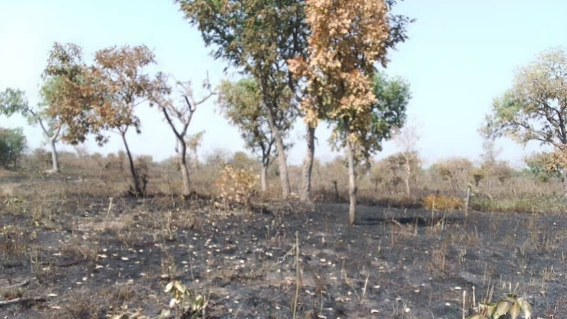
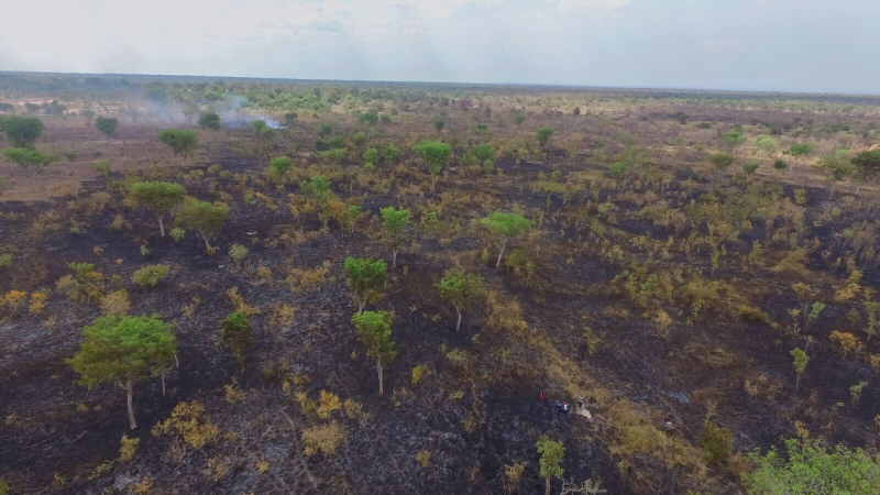
Ecosystem restoration and conservation is hard work and fraught with challenges like forest fires, droughts or floods. Plant-for-the-Planet works to minimize and mitigate these risks, for example by training our team in fire mitigation and preparing fire breaks on our sites or harnessing satellite data to detect fires. For reasons of transparency, we document relevant incidents here.
Incidents are documented here only after they are resolved, that way we ensure that we can correctly estimate the total extent of the incident.
Flooding
Date
July 2024
Site
Las Américas
Size
TBD
As a result of intense rain in July 2024 we are experiencing some flooding events. This page will be updated after the flooding event is over and we know the full extent and impact of the event
Forest Fire
Date
07.6.2024
Site
Las Américas 11
Size
10.7 ha
Know More
Image
Forest Fire
Date
22.4.2024
Site
Las Américas 7a
Size
3.3 ha
Know More
Image
Forest Fire
Date
11.4.2024
Site
Las Américas 11
Size
17.64 ha
Know More
Image
Forest Fire
Date
26.3.2024
Site
Las Américas 1
Size
13.11 ha
Know More
Image
Forest Fire
Date
10.3.2024
Site
Las Américas 11
Size
12.8 ha
Know More
Image
Forest Fire
Date
02.3.2024
Site
Las Américas 7a
Size
0.43 ha
Know More
Image
Flooding
Date
06.10.2023
Site
Las Américas
Size
51.2 ha

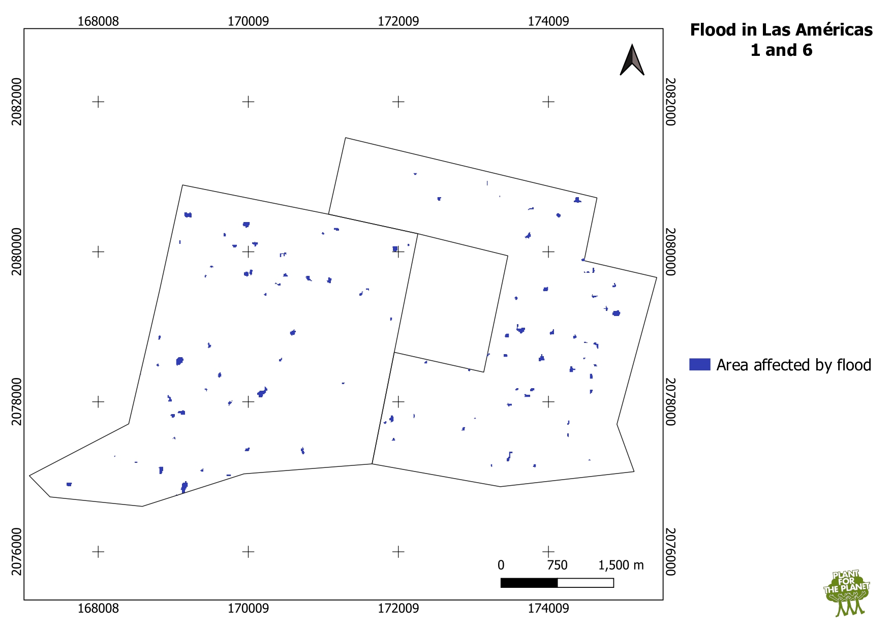
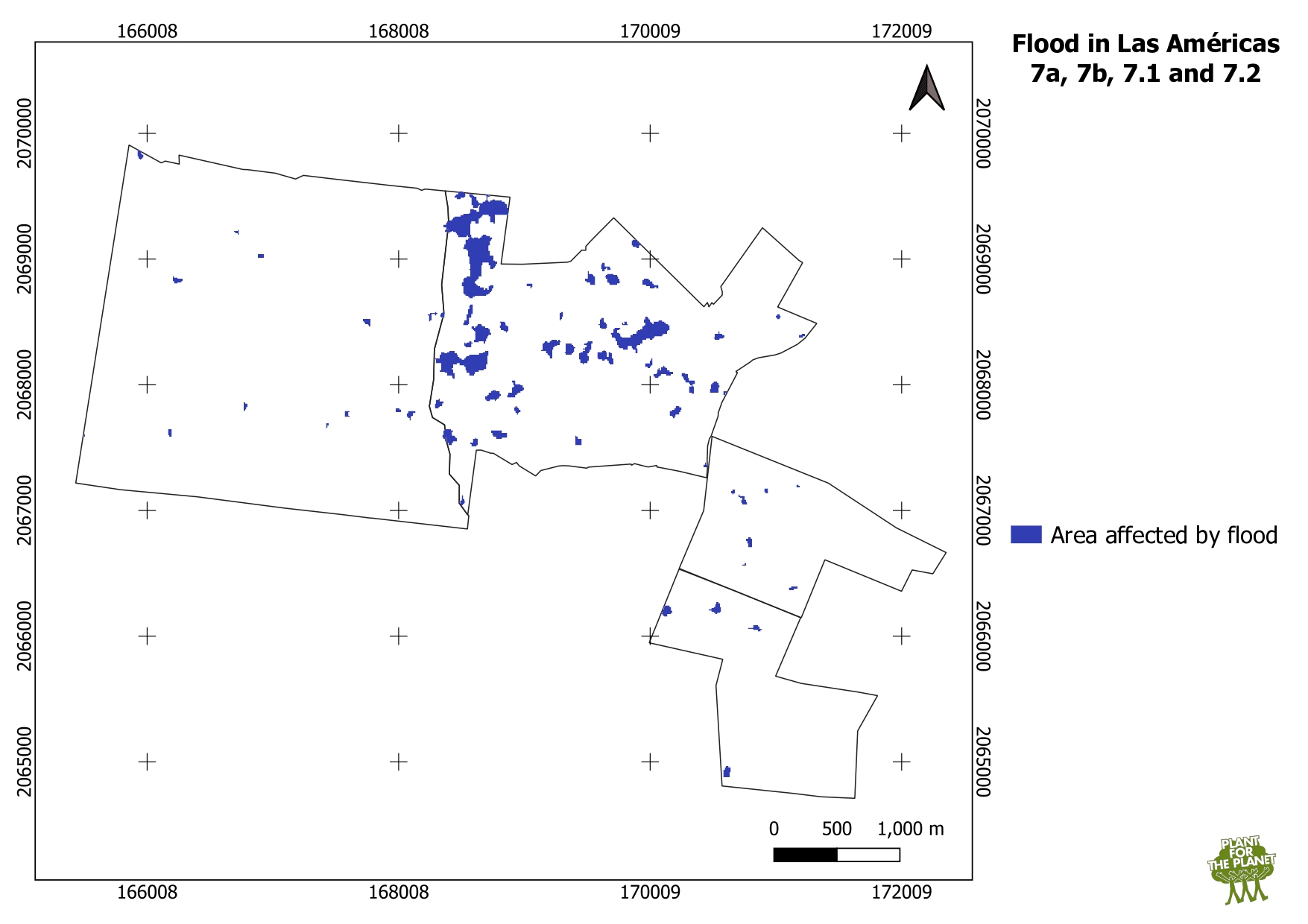
After several days of heavy rain we observed moderate flooding in our sites Las Americas 1, 6 and 7. The peak of the flooding was around the 6th of October. Across all these sites, a total of 51.2 ha were affected by some degree of standing water, in most cases limited to a few centimetres or less and limited to a few days. The most heavily affected area was Las Americas 7a. In that area, we planted a mix of tree species specialized on growing in contexts with large amounts of water. Therefore, we do not expect that we will experience excess mortality as a result of this flooding. In most cases, this added water was at levels where it was more likely to be beneficial than harmful for the plants.

The maps were made by using SAR (Synthetic Aperture Radar) data (vv and vh bands) from Sentinel 1 satellite of ESA. Water locations were calculated for the 5th to 9th of October.
Image
Image
Forest Fire
Date
21.4.2023
Site
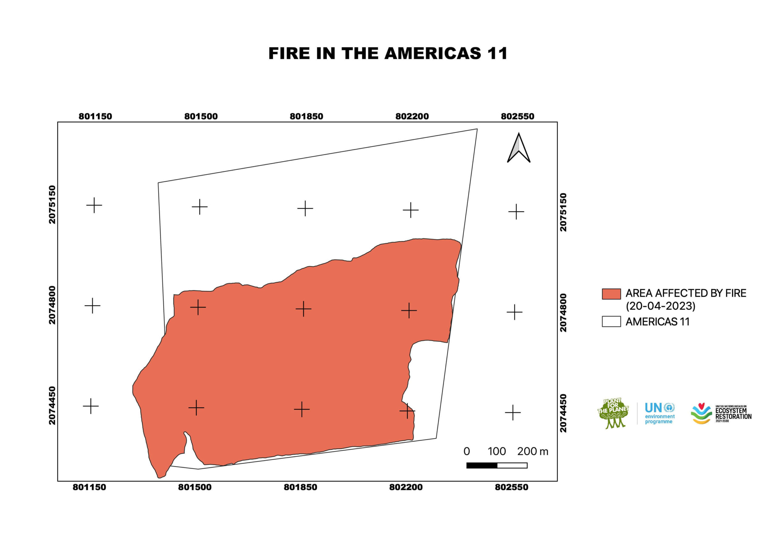
Las Américas 11
Size
59.6 ha
Know More
Image
Forest Fire
Date
11.4.2023
Site
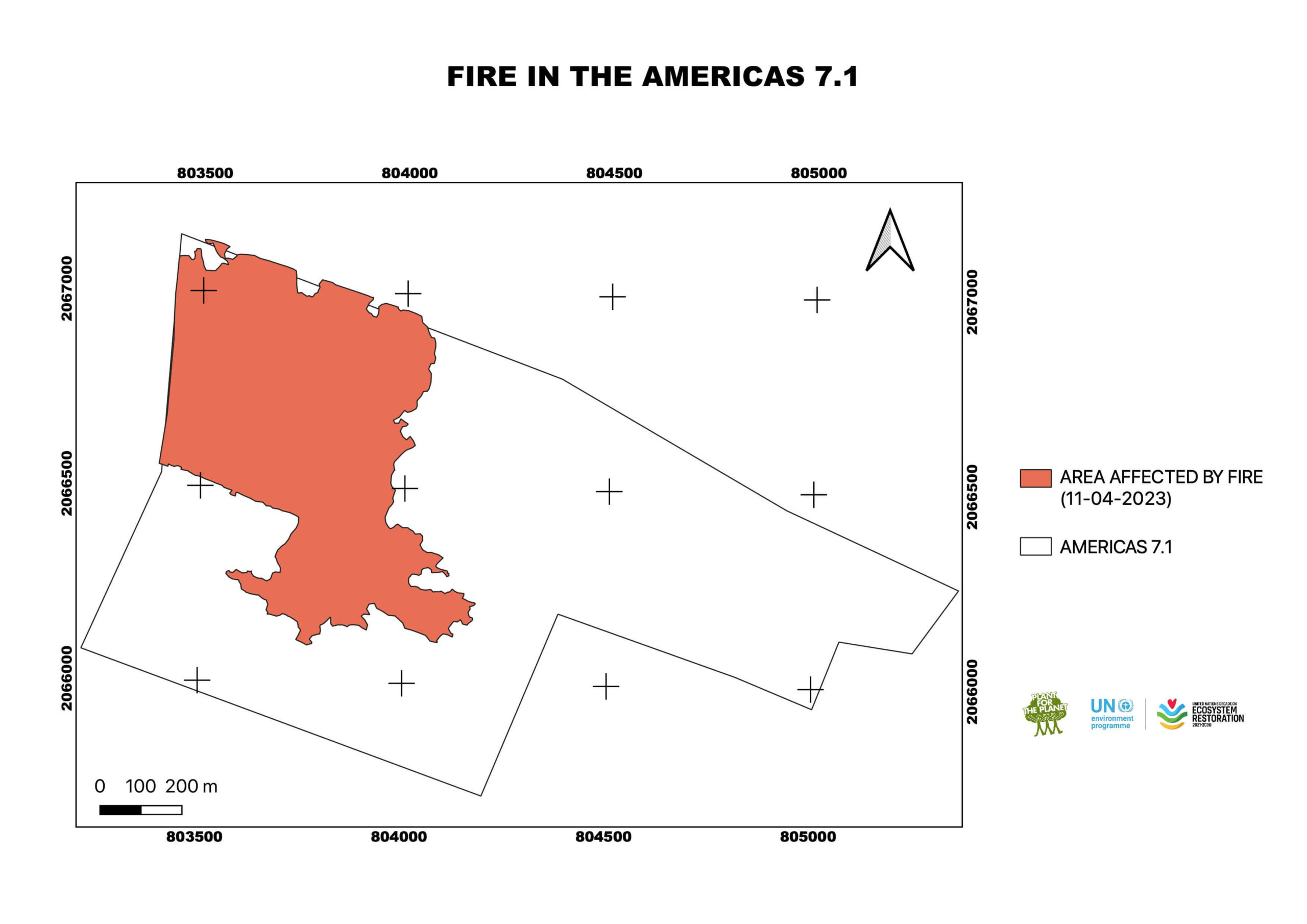
Las Américas 7.1
Size
45.22 ha
Know More
Image
Forest Fire
Date
03.4.2023
Site
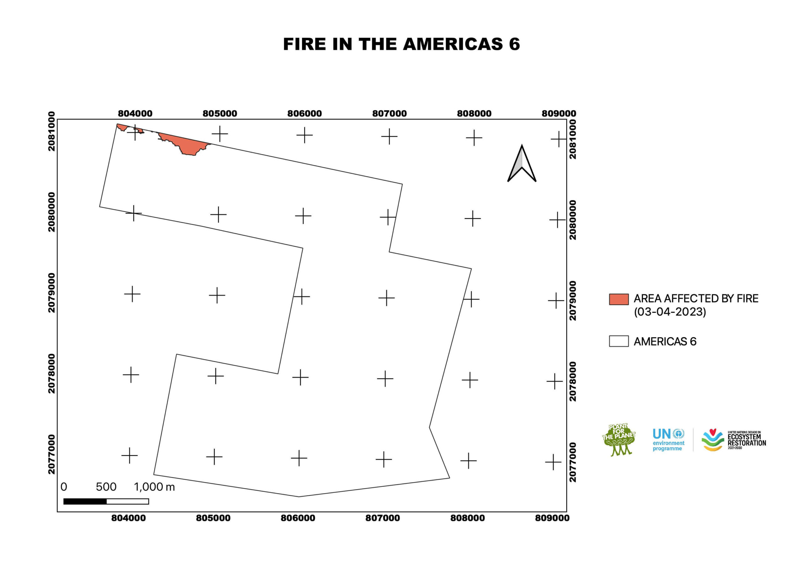
Las Américas 6
Size
7 ha
Know More
Image
Forest Fire
Date
30.3.2023
Site
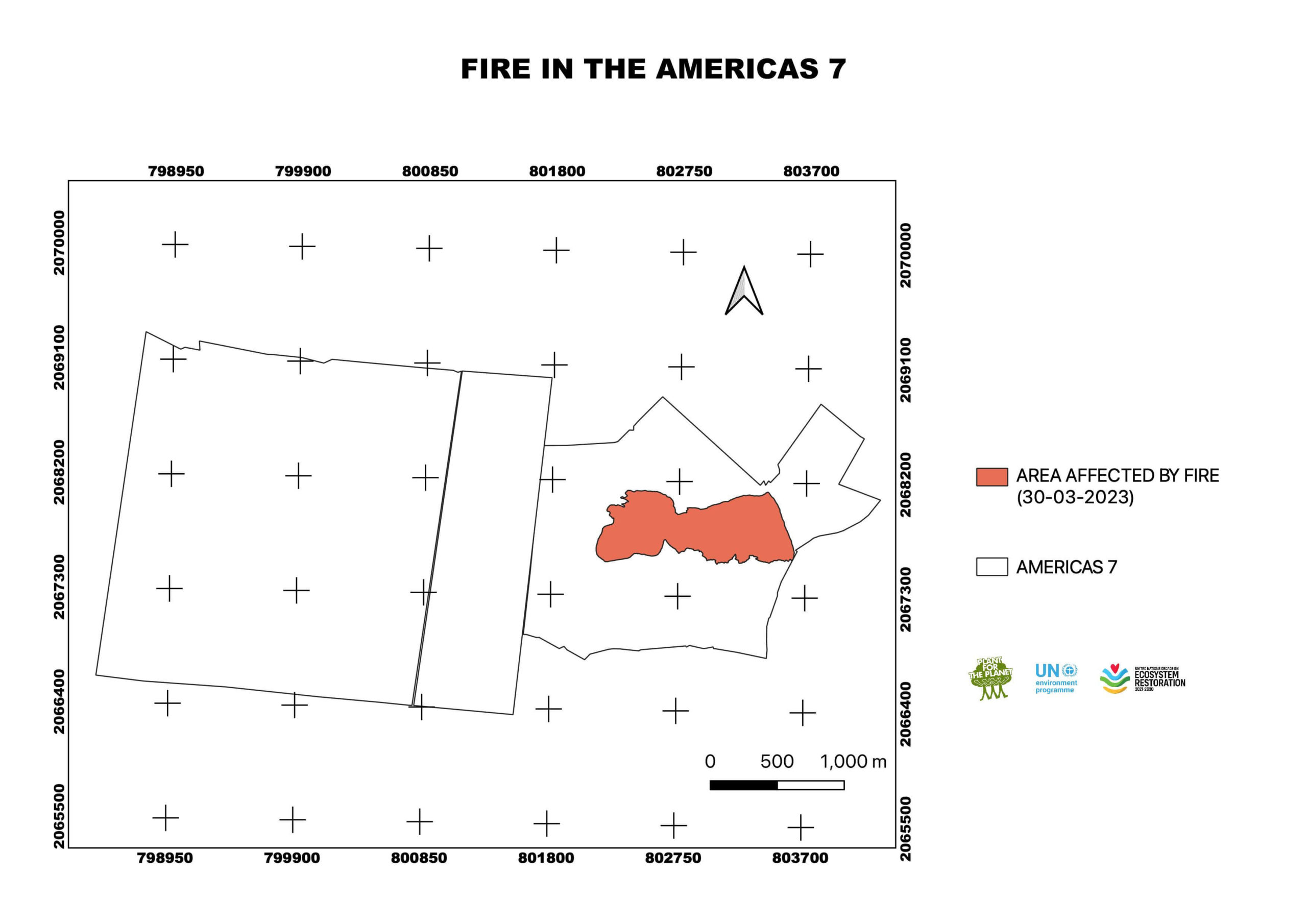
Las Américas 7a
Size
60.68 ha
Know More
Image
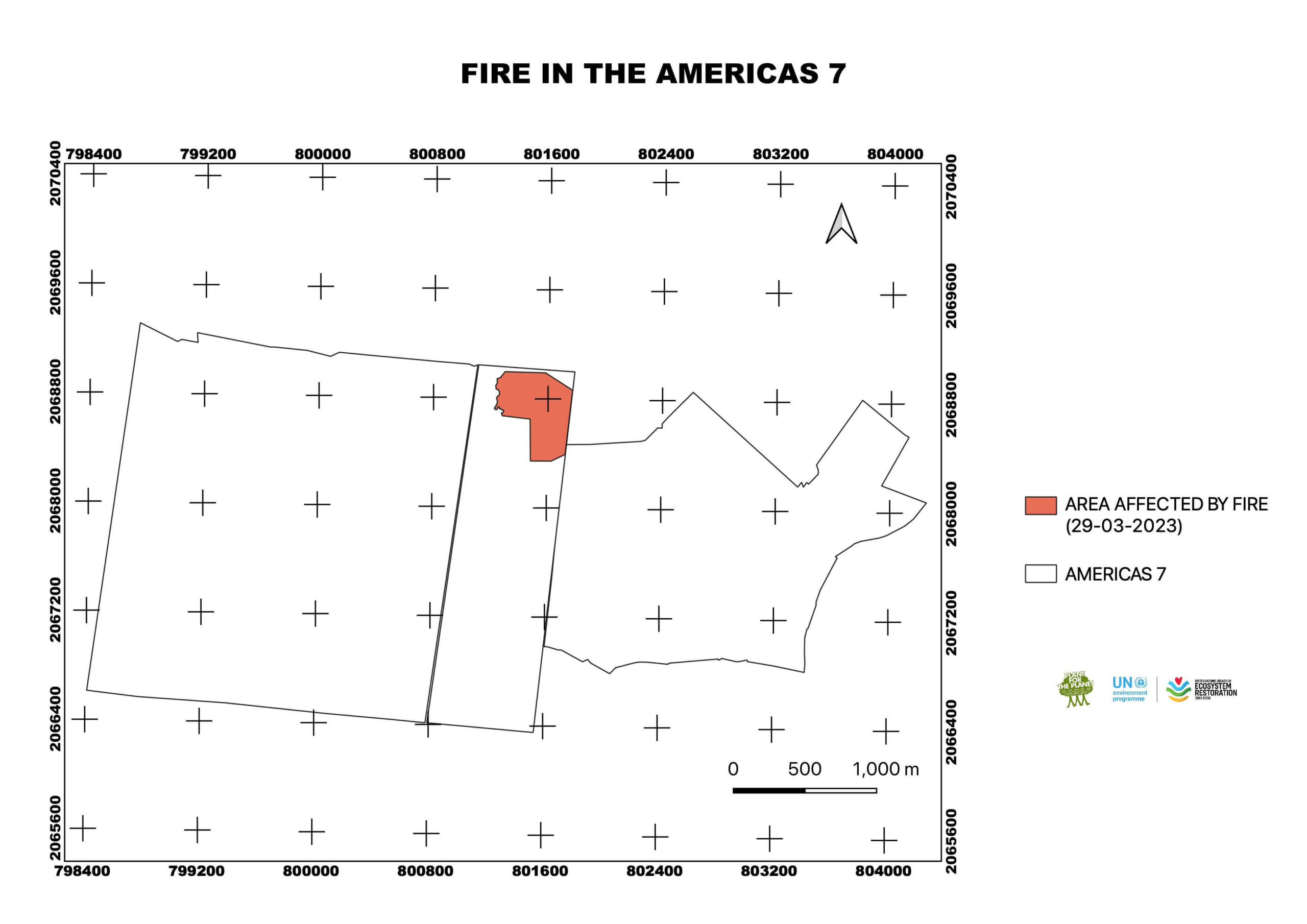
Forest Fire
Date
29.3.2023
Site
Las Américas 7a
Size
23.49 ha
Know More
Image
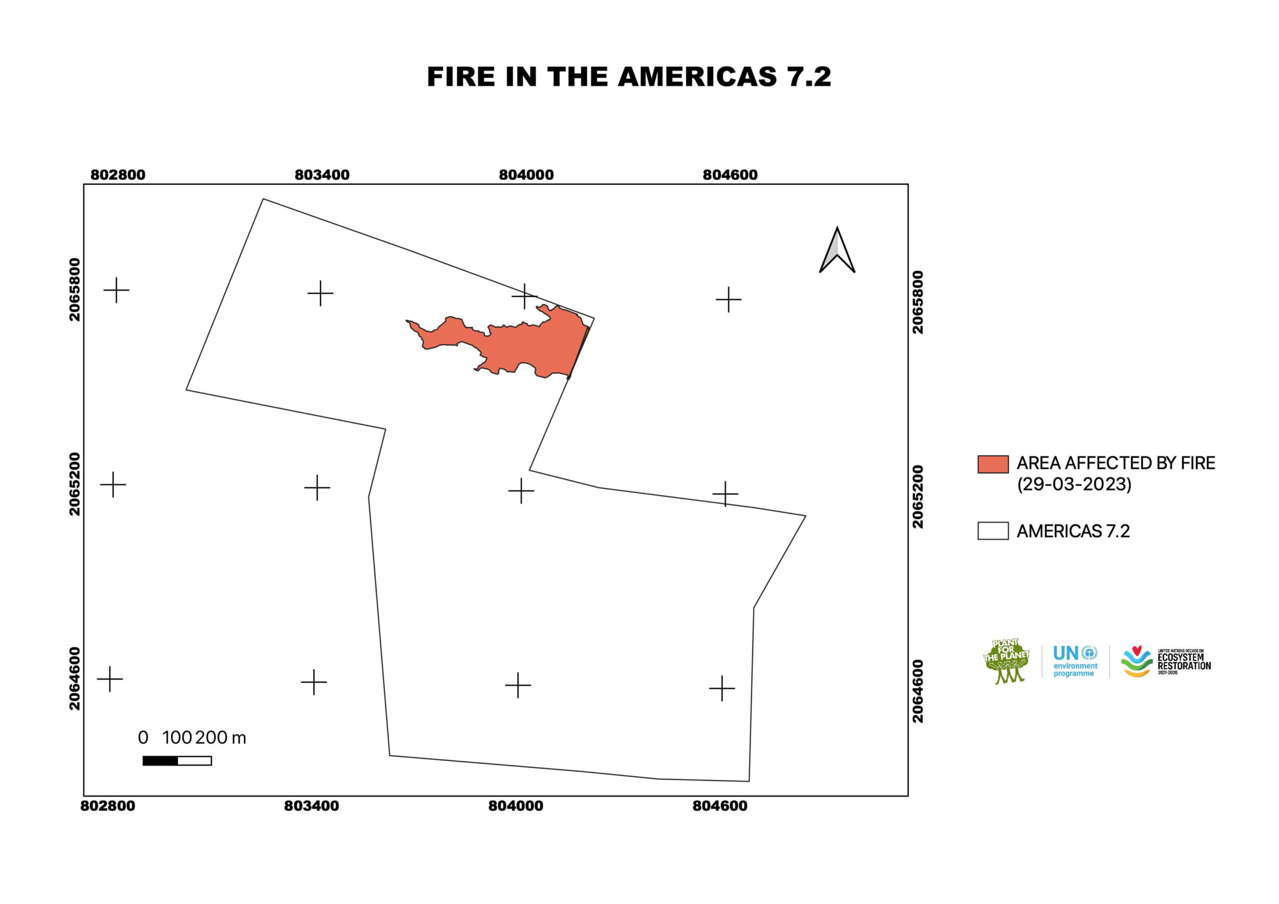
Forest Fire
Date
29.3.2023
Site
Las Américas 7.2
Size
5.7 ha
Know More
Image
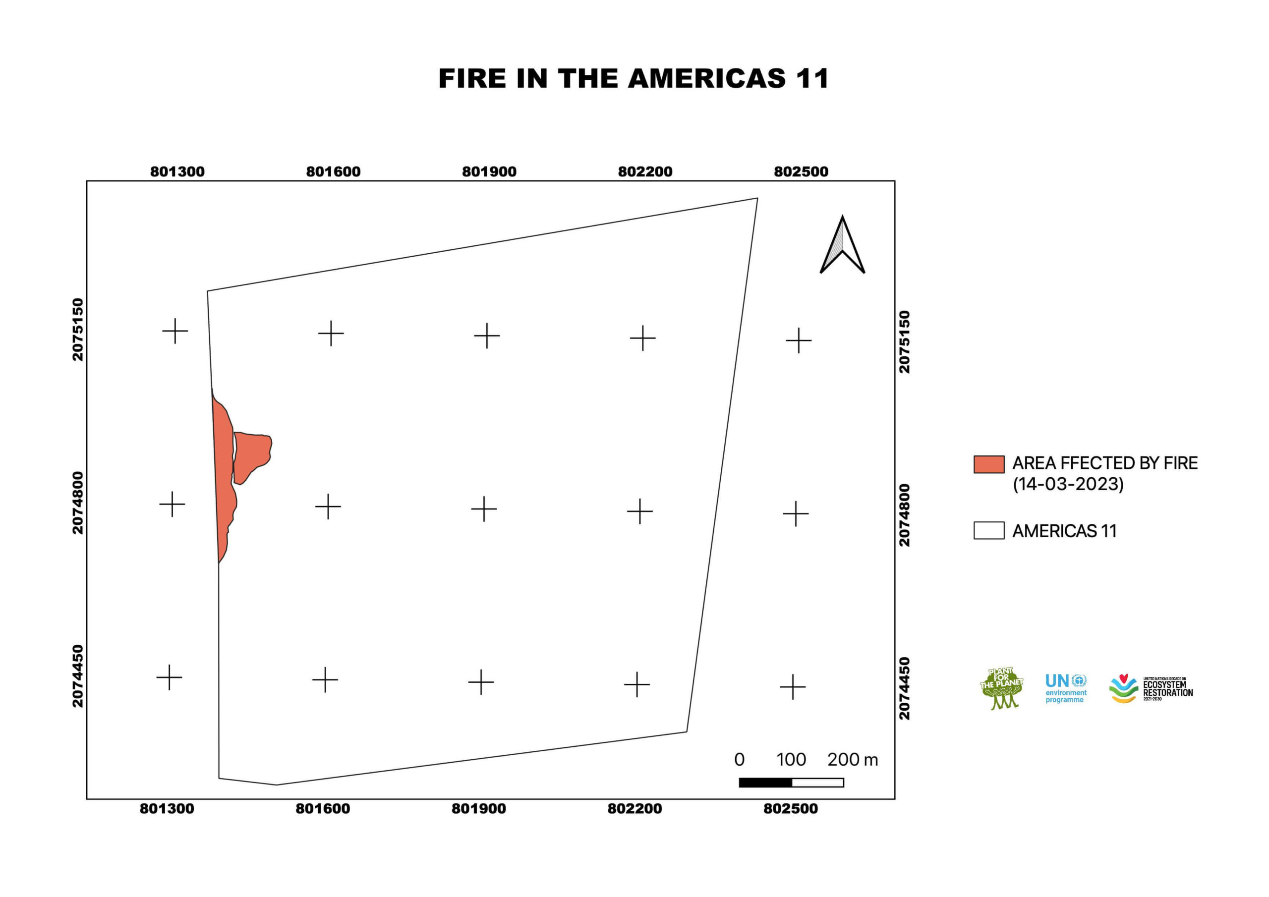
Forest Fire
Date
14.3.2023
Site
Las Américas 11
Size
1.58 ha
Know More
Image
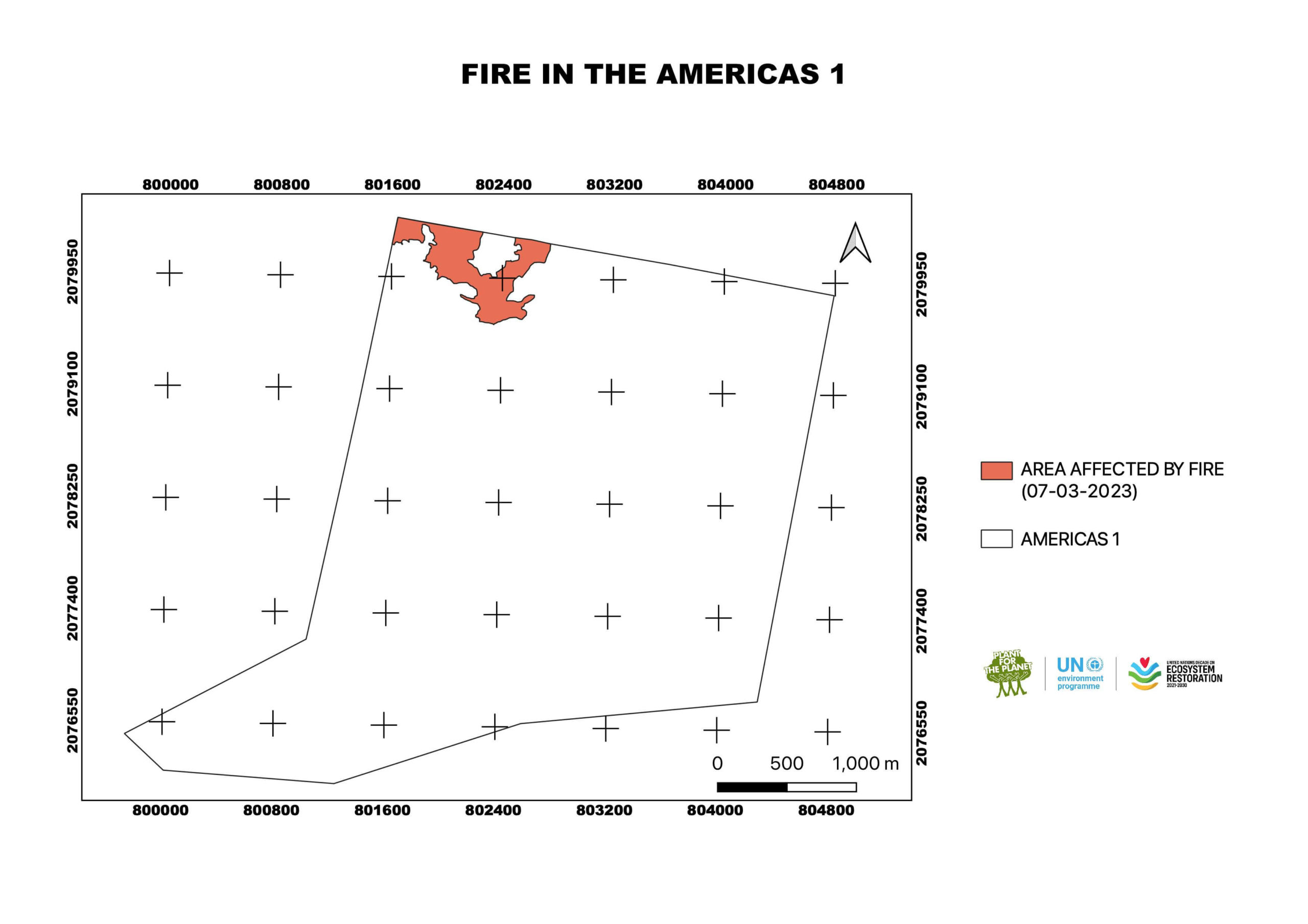
Forest Fire
Date
10.3.2023
Site
Las Américas 1
Size
32 ha
Know More
Image